Live Video Sharing
Low-latency streams fanned out to every operator on the mission and out to authorized units and third-party organizations simultaneously.
SKYDOPS is a web-based fleet management platform for squad-based drone operations. It runs in the browser, so an operator needs a login rather than a ground station. Aircraft are grouped into squads that share an area, a mission and a common picture, and operators collaborate inside it — coordinating tasking, handing off aircraft and targets, and seeing each other’s actions as they happen. Planning, live video, target designation and coordinate sharing all happen in the same console, over authenticated and encrypted channels — with video and target coordinates shareable outward to partner units and third-party organizations. Cloud AI is available on demand when a mission calls for it.

Monitor and command many aircraft at once from a single operator view, with live telemetry from every airframe. Operators share that view and work it together — coordinating who flies what, handing aircraft and tasking between each other, and acting on the same picture at the same time.
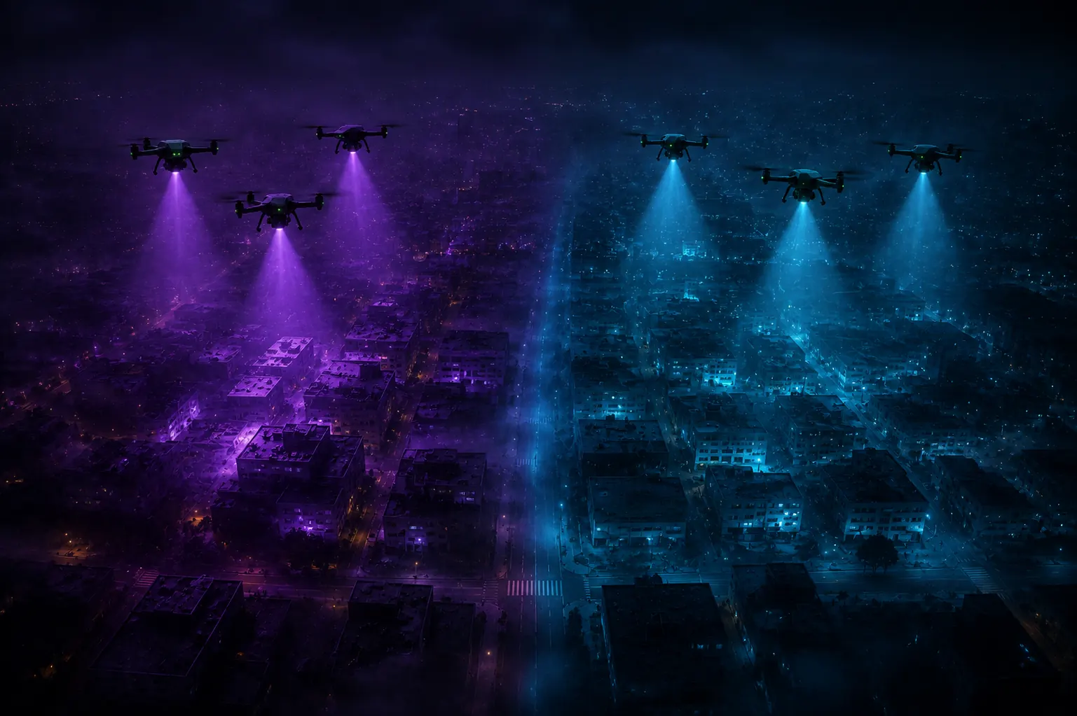
Group aircraft into squads that share an area, a mission, and a picture — assigned, coordinated, and tracked together.
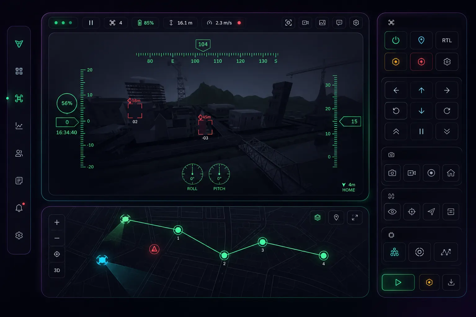
Designate a target on the map or in the video feed, hand it to the tracker, and keep it locked as the aircraft follows.
Low-latency streams fanned out to every operator on the mission and out to authorized units and third-party organizations simultaneously.
Detections are geo-referenced to real-world coordinates and pushed to the whole squad and to authorized third-party entities, so everyone works from the same point on the same map.
Authenticated sessions and encrypted command, telemetry, and video channels end to end.
Call in cloud AI when the mission needs it: describe the target in plain language, and the system searches, detects, and reports back. This capability is currently in development and will be available soon.
People on the ground share position and can receive aerial assistance.



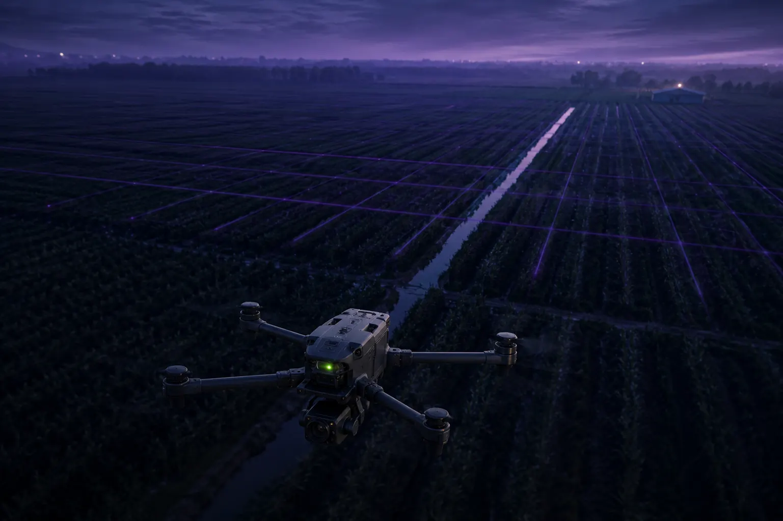
Survey crops and irrigation across large holdings, on a schedule.
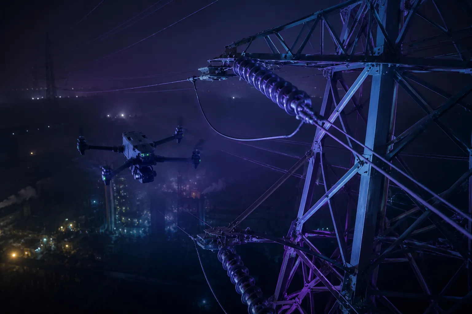
Check towers, power grids, pipelines and plant without putting people at height.
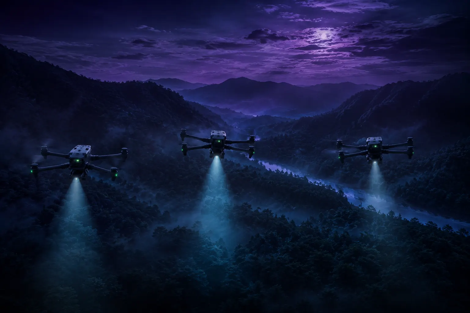
Cover ground fast and hand live coordinates to the teams working it.
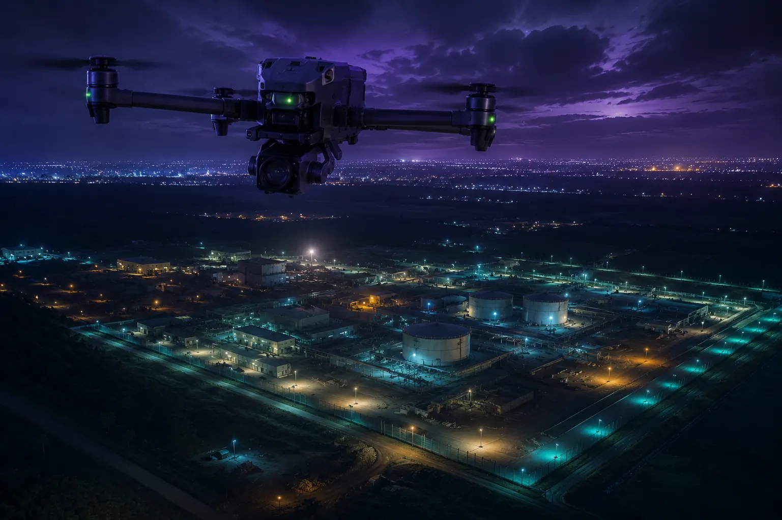
Persistent overwatch, for government entities.